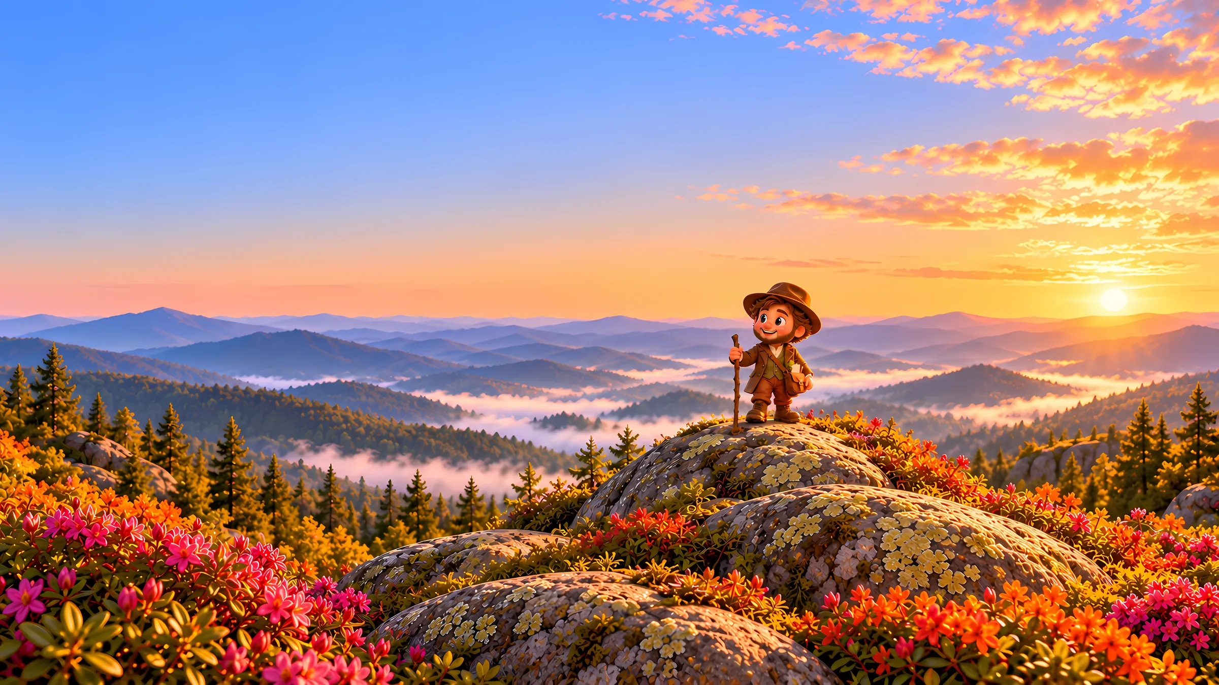
Dear walker,Nature Steps: Appalachia is out. It is our second trail and our fourth app. Your daily steps now carry you along the Appalachian Trail, from the bronze plaque on Springer Mountain in Georgia to the weathered sign on the summit of Katahdin in Maine, about 2,190 miles and fourteen states later.
If you have walked with us before, you know how it works. Apple Health hands the app your step count. The app turns it into distance and moves you up the trail. There is nothing to log, no workout to start, no GPS following you around. You walk your own streets; the trail advances underneath you.
The Pacific Crest Trail taught us that a long trail is a cross-section. The Appalachian Trail is a different kind of lesson. It does not cross deserts and volcanoes. It stays in the forest, almost the whole way, and lets the forest change around you, one ridge at a time, until the hardwoods of Georgia have become the spruce and moose country of Maine.
We want to spend this letter on that change, because it is the part we found most beautiful to build.
The oldest mountains you will ever walk
The Appalachians are old in a way that is hard to hold in your head. They rose more than 300 million years ago, when the continents collided to form Pangaea, and they may once have stood as high as the Alps. Everything since has been erosion. What you walk today are the worn-down roots of those mountains: rounded ridges, long valleys, and rock that has been folded and broken and folded again.
That age is why the trail feels the way it does. There are few dramatic summits and almost no switchbacks up open rock. Instead there is the long green tunnel, as thru-hikers call it: mile after mile of forest, climbing and falling over ridges that were old before the dinosaurs.
It is also why the forest is so rich. Mountains that have stood this long, and were never scraped bare by the ice sheets in their southern half, have had time to collect species. The southern Appalachians hold some of the most diverse temperate forest on Earth.
What the trail actually crosses
The app divides the route into 35 stages, each running between real trail towns and road crossings, from Neels Gap and Fontana Dam to Harpers Ferry, Hanover and Monson. Each stage carries the natural history of the ground it covers, and the stages fall into regions where the changes are easy to see.
The southern hardwoods
The trail begins in a cove forest of oak, tulip tree and hemlock, under a canopy so dense that rhododendron and mountain laurel make tunnels of the understory. These mountains are the salamander capital of the world: more kinds live here than anywhere else, many of them breathing through their skin in the cool, wet leaf litter. It is easy to walk past dozens without ever seeing one.
flame azalea · southern red-backed salamander · wood thrush · brook trout
Sky islands of spruce and fir
Climb high enough in the Smokies and the forest turns into something that belongs in Canada. At Clingmans Dome, the highest point on the whole trail at 6,643 feet, red spruce and Fraser fir grow on summits that are islands of the north, stranded here when the climate warmed after the last ice age. The Fraser fir grows nowhere else on Earth.
Fraser fir · Carolina northern flying squirrel · American black bear · common raven
Grassy balds
North of the Smokies the trail crosses some of its strangest country: open, grassy summits in the middle of a forest, where by every rule there should be trees. Nobody is entirely sure how the balds began. Grazing kept many of them open for generations, and on the Roan Highlands they are ringed by gardens of Catawba rhododendron. At Grayson Highlands in Virginia, wild ponies still do the grazing.
Catawba rhododendron · Gray's lily · golden-winged warbler · Grayson Highlands pony
The long Blue Ridge
Virginia holds about a quarter of the trail, more than any other state. The route follows the Blue Ridge north through Shenandoah National Park, where peregrine falcons, once gone from the East, were brought back to nest on the cliffs. It comes down at last to Harpers Ferry, where the Shenandoah meets the Potomac and the Appalachian Trail Conservancy keeps its headquarters.
large-flowered trillium · peregrine falcon · timber rattlesnake · barred owl
Ridges, rocks and the lost chestnut
Through Pennsylvania the trail follows the long, parallel ridges of the Ridge and Valley, over the boulder fields that hikers have nicknamed Rocksylvania, and along the Kittatinny Ridge, where hawks ride the updrafts south every autumn. Somewhere here you pass the trail's true halfway point. By the Hudson, near the trail's lowest point, you walk through woods that were once a quarter American chestnut, before a blight from abroad took almost all of them in a few decades.
pitch pine · broad-winged hawk · American chestnut · bald eagle
The northern hardwoods
In the Berkshires and the Green Mountains the forest changes again, to sugar maple, beech and yellow birch: the woods that turn New England orange each October. Through Vermont the trail shares its path with the Long Trail, the older footpath that helped inspire it. The evening song here belongs to the hermit thrush.
sugar maple · hermit thrush · eastern newt · snowshoe hare
Above the trees
In New Hampshire the trail makes its longest climb above treeline, across the Presidential Range and over Mount Washington, a summit famous for some of the worst weather on the planet. Up here the plants are arctic ones, low and tough, holding on in a climate that matches Labrador. It is a few miles of tundra in the middle of New England.
diapensia · Bicknell's thrush · American marten
The north woods and Katahdin
Maine is the wildest state on the trail and, for many, the hardest. It begins with Mahoosuc Notch, often called the slowest mile on the trail, and ends with the Hundred-Mile Wilderness, a long stretch of lakes and spruce with almost no roads. Then comes Katahdin. On its high tableland lives a butterfly found nowhere else in the world, the Katahdin Arctic. It is the last species in the Field Journal.
common loon · moose · Canada lynx · Katahdin Arctic
The Field Journal
At the centre of the app is a Field Journal of 105 species: trees and wildflowers, birds, mammals, reptiles, amphibians, fish and one very particular butterfly. Three belong to every stage, and each has an illustrated plate, its range and a piece of natural history.
As on the PCT, the journal only offers what actually lives where you are standing. A moose does not appear in Georgia. A Fraser fir does not appear off the high Smokies. If you want the alpine plants of the White Mountains, you have to walk to the White Mountains.
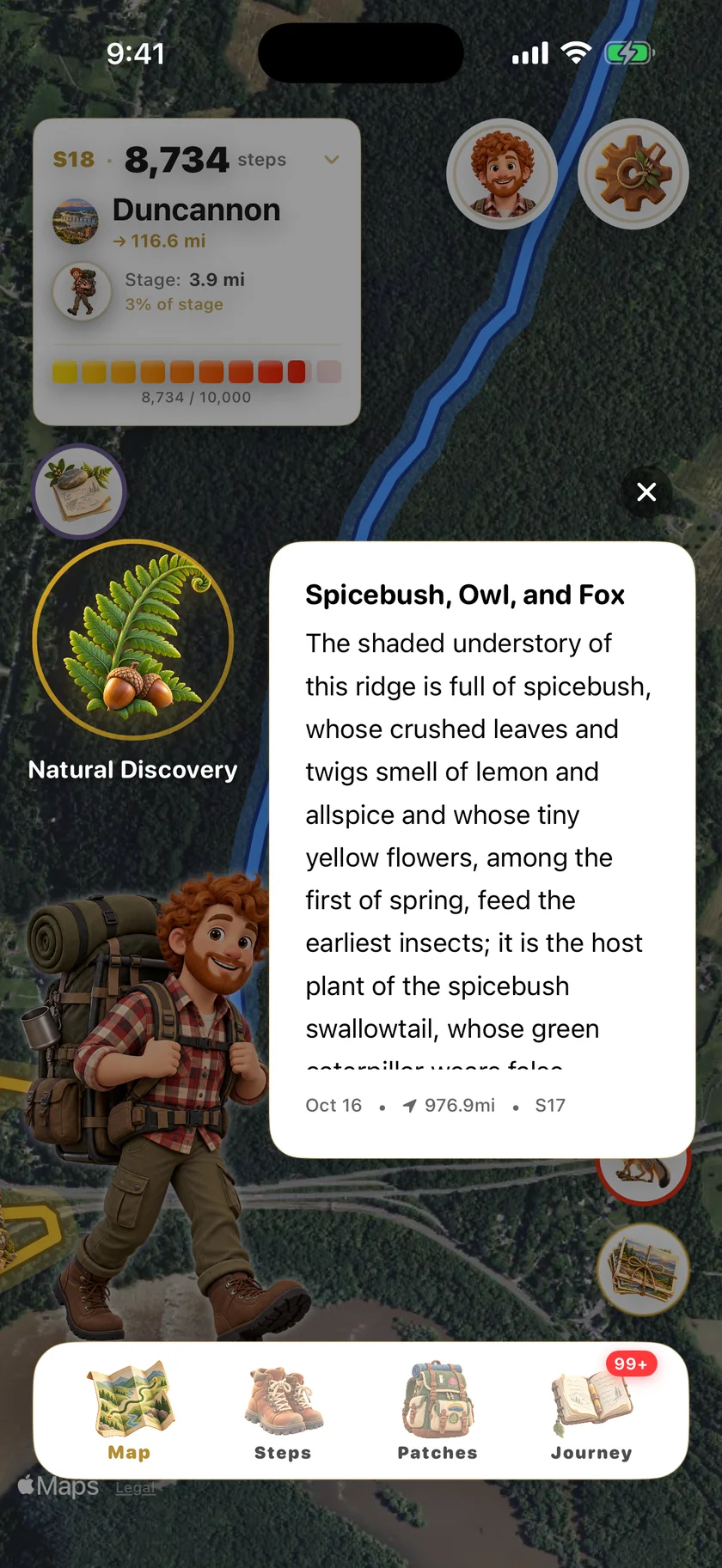
After a few weeks the journal starts to read like a map of the eastern forest. You notice the southern trees thinning out somewhere in New England. You notice the spruce of the Smokies turning up again, a thousand miles later, as the ordinary forest of Maine. You are learning how a continent's forests are arranged, simply by walking north through them.
Thoreau, and the man who imagined the trail
Every one of our apps has a guide. Here it is Henry David Thoreau, who wrote Walking and who climbed Katahdin in 1846. Near the summit, in a landscape of cloud and bare rock, he felt something close to fear, and wrote one of the most famous passages in American nature writing.
Talk of mysteries! Think of our life in nature, daily to be shown matter, to come in contact with it, rocks, trees, wind on our cheeks! the solid earth! the actual world! the common sense! Contact! Contact! Who are we? where are we? Henry David Thoreau, Ktaadn, 1846
The trail itself began with Benton MacKaye, a forester who in 1921 proposed a footpath along the whole Appalachian range, a place where people from the crowded eastern cities could walk and recover. Volunteers finished the first continuous trail in 1937. It is still kept up by volunteers today.
Alongside Thoreau, the app carries a year of daily field notes from the naturalists: Rachel Carson, Aldo Leopold, John Burroughs and dozens more. One thought each morning to take out with you. There is also a Naturalist's Notebook of nine illustrated chapters, from "Where the Old Mountains Begin" to "The North Woods and Journey's End", for the days you want more than a paragraph.
What is in the app
Fifty-three illustrated patches mark the way, from your first thousand steps to the 2,000-Miler waiting on Katahdin. You can walk the trail northbound, like most thru-hikers, or start on Katahdin and walk south. There is a full Apple Watch app, widgets and Live Activities, and you can start a walking group with friends and see each other on the map. The app comes in eight languages, with distances in miles or kilometres.
What is not there: no account, no ads, no subscription, no in-app purchases. Your health data is read on your device and stays there, or goes into your own private iCloud, and never comes to us. If you join a walking group, its members see your display name, avatar or photo, progress, badges and messages, and nothing else.
Why we made this one
Most of us will never thru-hike the Appalachian Trail. It takes five or six months, and only about one in four people who set out to walk the whole thing finish. But the trail was never meant only for thru-hikers. MacKaye imagined it as a place where ordinary people could step out of their lives for a while and into the forest.
That part can be walked a few thousand steps at a time, from wherever you are, over as many months as you like.
Start on Springer Mountain. The rhododendrons are first.
With thanks to the volunteers who keep the trail open, and to the naturalists whose work we borrowed from — — The Lost Theory team
Walk the Appalachian Trail
Nature Steps: Appalachia is available now on the App Store for iPhone & Apple Watch.
Download on the App Store →